Ushuaia360
Overview
Ushuaia360 is an offline hiking app for the end of the world. Trails mapped with GPS precision, 360° views of every key point, and navigation that keeps working when the signal dies. Tierra del Fuego in your pocket before you leave town.
- Year
- 2026
- Discipline
- Web & Mobile Development
- Stack
- React Native
- Expo
- TypeScript
- Python
- Next.js
- Figma
01 / 03
The Challenge
Ushuaia is the end of the world, and that is exactly where the signal dies. Hikers and tourists needed a way to explore Tierra del Fuego with mapped trails, 360° views of key points, and navigation that still works with no coverage. The product had to feel like the landscape: precise GPS, honest difficulty, and the trail in your pocket before you leave town.
02 / 03
The Solution
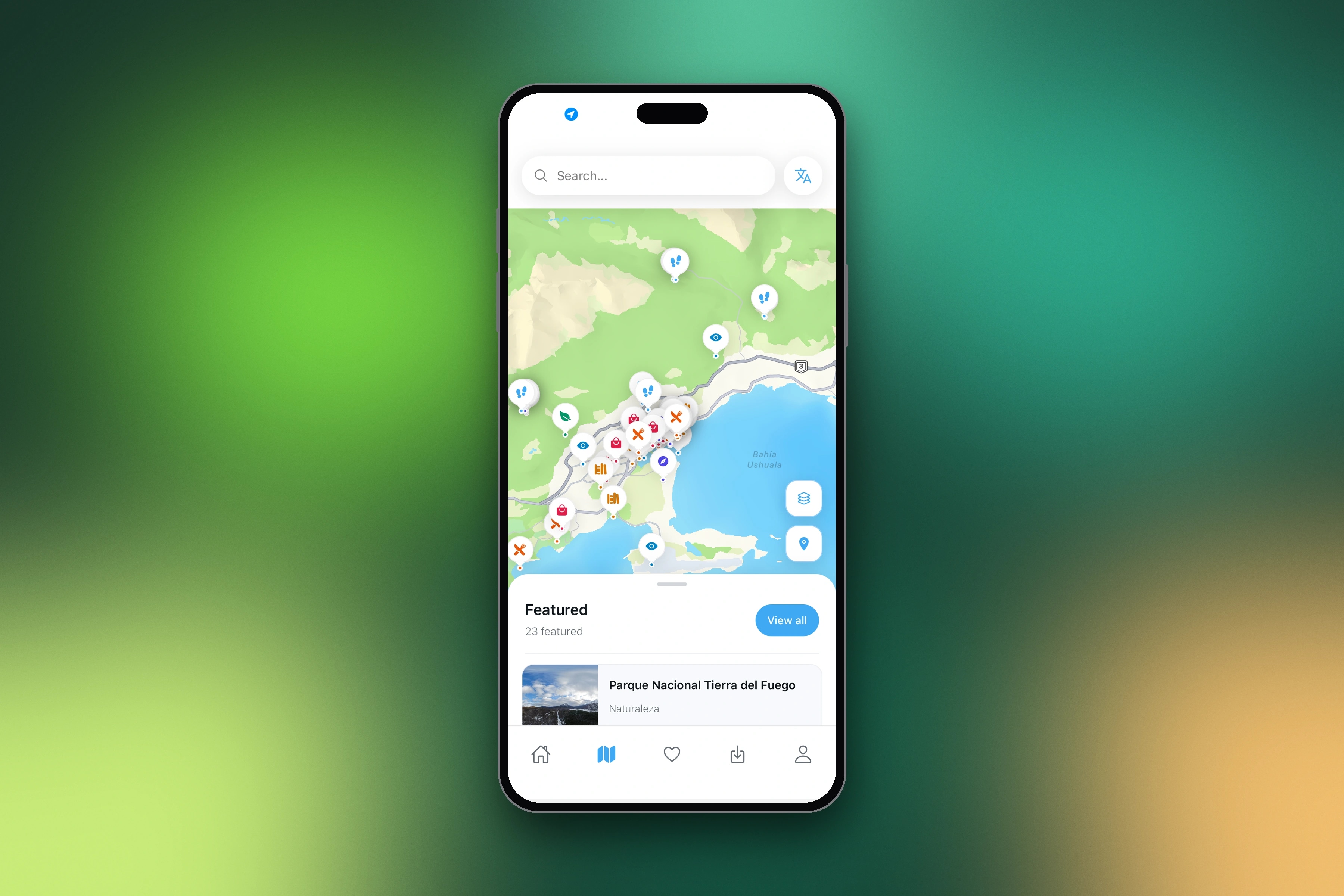
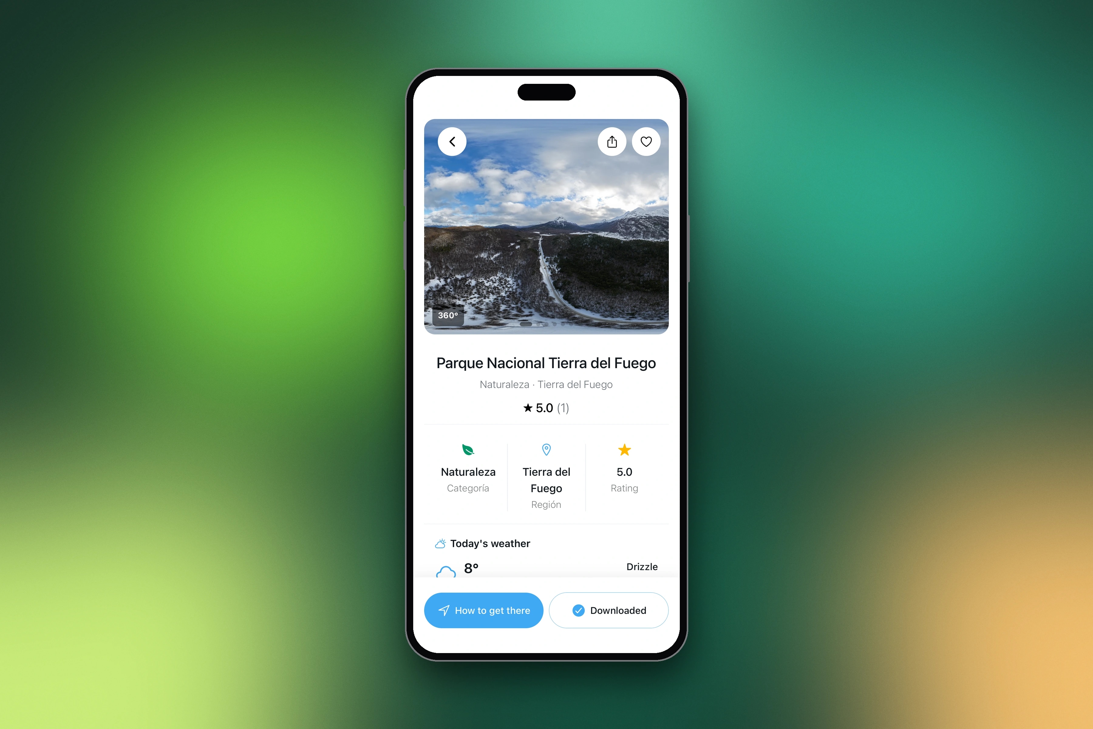
We designed and built Ushuaia360, a mobile app for trails and tourist places at the end of the world. Each trail includes GPS traces, waypoints, distance, elevation, and difficulty. Immersive 360° photography lets people preview a point before or during the hike. The core mechanic is offline: download the map, the trace, the info, and the 360 photos, then walk with no signal. A companion web admin manages trails, media, waypoints, and places.
03 / 03
The Process
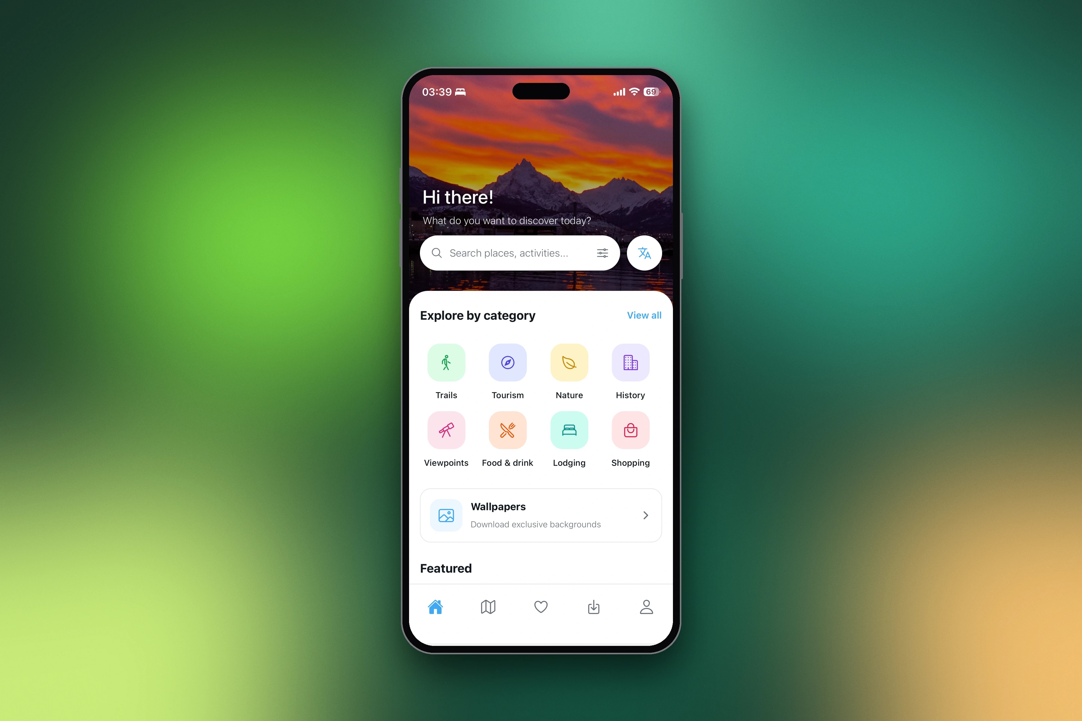
We built the product across mobile, web, and API: an Expo app for iOS and Android with map and list modes, trail detail, 360 content, and offline downloads; a web admin for trails, GPS traces, panoramic photos, and points of interest; and a backend that stores routes, segments, waypoints, and media. The experience is organized around two home modes, map and list, so visitors can scan the landscape or browse trails like a field guide.
Gallery
Key features
- 01Trails mapped with GPS precision
- 02360° views at key points
- 03100% offline navigation, no signal required
- 04Distance, difficulty, and elevation per stretch
- 05Map and list browsing
- 06Tourist places and viewpoints
- 07Trail downloads for offline use
- 08iOS and Android
The Result
Ushuaia360 is live with 40+ points, 360° views, and full offline navigation. Trails are mapped with GPS precision, including difficulty and elevation for every stretch. The app is available on the App Store and Google Play, with a public hub at ushuaia360.com.
Frequently asked questions
Does Ushuaia360 work without signal?
Yes. Navigation is 100% offline: you download the map, the GPS trace, the trail information and the 360° photos before leaving town, and then walk with no signal.
What information does each trail include?
GPS traces, waypoints, distance, elevation and difficulty for every stretch, plus immersive 360° views of key points and nearby tourist places.
Where can I download Ushuaia360?
The app is available on the App Store and Google Play, with a public hub at ushuaia360.com.
How was Ushuaia360 built?
An Expo and React Native app for iOS and Android, a backend that stores routes, segments, waypoints and media, and a web admin to manage trails, GPS traces, panoramic photos and points of interest.
Related reading
- How much does it cost to build an app in 2027?There is no price list for an app, and anyone who gives you one without asking questions is guessing. What really defines the budget, and how to get a quote you can trust.
- Native app vs. React Native vs. PWA: which one does your business need?Three ways to put your product on a phone, with very different costs. A plain comparison, without the technical jargon, to help you choose.
- Offline-first apps: how to design an app that works without signalTourism, field work, logistics, rural areas: many apps are used exactly where the signal dies. What changes when you design for offline from the start.
- I want to build an app for my business: where do I start?You have the idea. You don't know who to call, what to prepare or how much it will cost. This is the order we would follow if we were in your place.
Next project
CheckRTO
Web Development